This web page is created within BALTICS project funded from the European Union’s Horizon2020 Research and Innovation Programme under grant agreement No.692257.
News
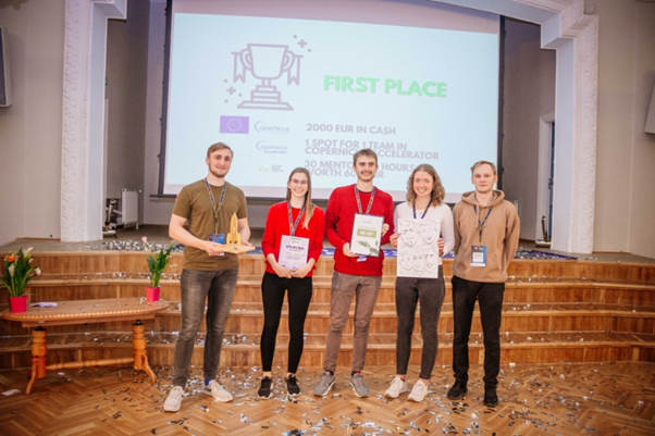
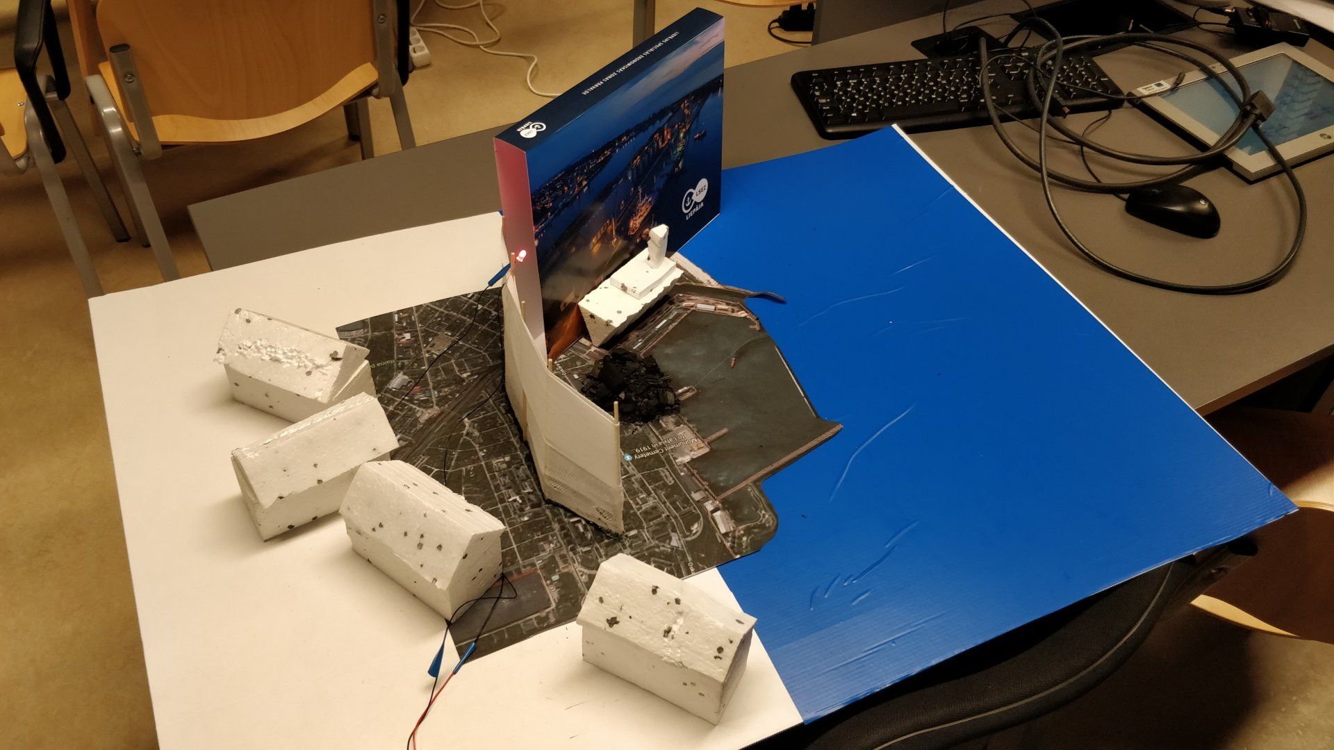
From 18-20 September Liepaja was shining in Europe’s Hackathon Map because in Liepaja University Green Tech Copernicus Hackathon took place. 66 participants over the course of three days with the support of team members and mentors created solutions for various challenges using Copernicus satellite data.
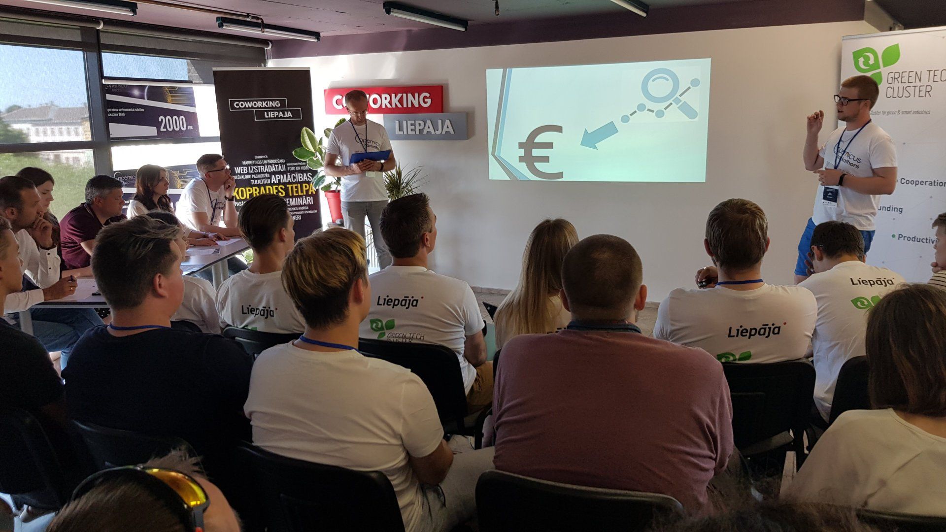
This weekend, at the premises of Coworking Liepaja, the long-awaited Copernicus environmental solutions hackathon in Liepaja gathered more than 50 participants and experts in one place. Within 48 hours, participants not only established new teams, but also created new solutions to fight forest fires, black ice, rivers and other problems, using Copernicus satellite data. On Friday evening, the teams were presented with the challenges of the Lithuanian municipality, Liepaja municipality and Liepaja Economic Zone. After listening to all the challenges, participants were given the opportunity to choose one of the existing challenges or present their own ideas and select their preferred teammates. In the course of the evening, 6 teams were set up to fight for €2,000 from the Green-Tech Cluster and participation in the Copernicus Accelerator. On Saturday morning, the teams presented their performance for the first time to mentors who helped teams overcome even the most difficult challenges. Ideas helped develop a team of mentors – Intars Zēns, Linda Gulbe, Edgars Visockis, Ļevs Lapkis, Diāna Lapkis, Gundega Dekena, Salvis Roga, André Nitzschmann, Raivis Ekšteins, Jānis letinskis, Dintars Tomsons and Michaels Shapkins. With the help of these great mentors, in a fierce fight, 6 teams were fighting until late Sunday afternoon. On Sunday afternoon, an expert panel composed of Green and Smart Technology Cluster board member Salvis Roga, Inpass Executive Director Raivis Ekšteins, head of social business aksselerator “New Door” Diāna Lapkis, head of VIRAC’s long-distance research division Linda Gulbe and representative of Liepaja special economic zone Kārlis Kints, following long discussions, the solution to the coastline erosion risk assessment was acknowledged as the best solution. The winning team – Agate Ambulte, Madara Jurberga, Mārtiņš Ābelītis and Verners Gavilovskis. The second place and EUR 1000 from the Green-Tech Cluster won the solution to forecasting hazardous areas. The winning team – Mareks Protasovs, Ingus Beldavs un Valdis Krasuckis. Our international team, Karolina Štreimikyte, Roberts Ķēniņš and Nauris Jūrmalis, gained third place and EUR 500. The Green-Tech Cluster Copernicus Environmental Solution hackathon was organised in cooperation with Anwendungszentrum GmbH Oberpfaffenhofen and the European Commission. The next Copernicus hackathon will take place from 19 to 20 September in the UK. The activity is implemented within the framework of the Green and Smart Technology Cluster, the Cluster Programme (Agreement No. 3.2.1.1/16/A/016). The material was prepared by: Organization “Green and Smart Technology Cluster”.
On October 26, 2018, in Riga Technical University (RTU) Design Factory was organized a 24-hour hackathon. The teams were asked to research possible solutions for different problems in relation to climate and environment while applying Copernicus satellite data. This year participants were asked to solve several Latvian government defined problems such as the spread of pollution in the urban environment, the assurance of water drainage during floods, and the problems caused by the transport movements on the main streets and coastal erosion. Local governments that provided their challenges: Cēsis, Jelgava, Liepāja, Ogre, Salacgrīva, and Valmiera. During the first part of the hackathon, the participants were introduced to the challenges. Throughout the practical part, the participants, while considering their mentors’ opinion, worked in teams in order to find practical and applicable solutions to the respective problems. Specialists Roberts Ķēniņš and Nils Bērziņš of VeUAS VIRAC remote sensing department also participated in „Copernicus Hackathon and Climathon Riga 2018”. Roberts Ķēniņš and the team that he was a part of searched for possible solutions in order to solve the coastal erosion problem in Salacgrīva. Because of this erosion, many roads are being washed out and sea coastline is getting dangerously close to the living area.
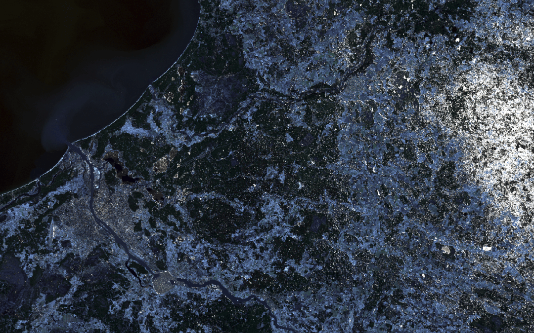
The k-nearest neighbors algorithm Plugin performs image pixel classification. Classification process is supervised by user provided chunk of smple data. The plugin creates image which represents pixel classification and performs accuracy assessment of classification process. Classification tool can be used either within QGIS software environment or via scripting events for more advanced users.
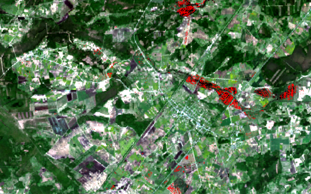
During the end of August 2017 media reported that east part of Latvia was flooded because of heavy rain. It caused serious damage on roads and farming land. Remote sensing department of VUC ERI VIRAC processed SAR (Synthetic Aperture Radar) satellite images to find out how efficiently is it possible to detect flooded areas using satellite data. SAR satellite images are being captured using radar technology. It means that the instrument transmits microwave energy on the surface of Earth and creates an image from received signal reflection. The greatest advantage of radar image is that it doesn’t depend on weather and natural illumination conditions, when data have been acquisited. Three Sentinel-1 satellite images were used to detect flooded territories. One of them was taken on August 2nd – before flood, but the other two images were captured on September 1st when the water level was high. A binary mask was created from these images that shows the flooded areas.
